Share updates on your projects with investors and other stakeholders easily.
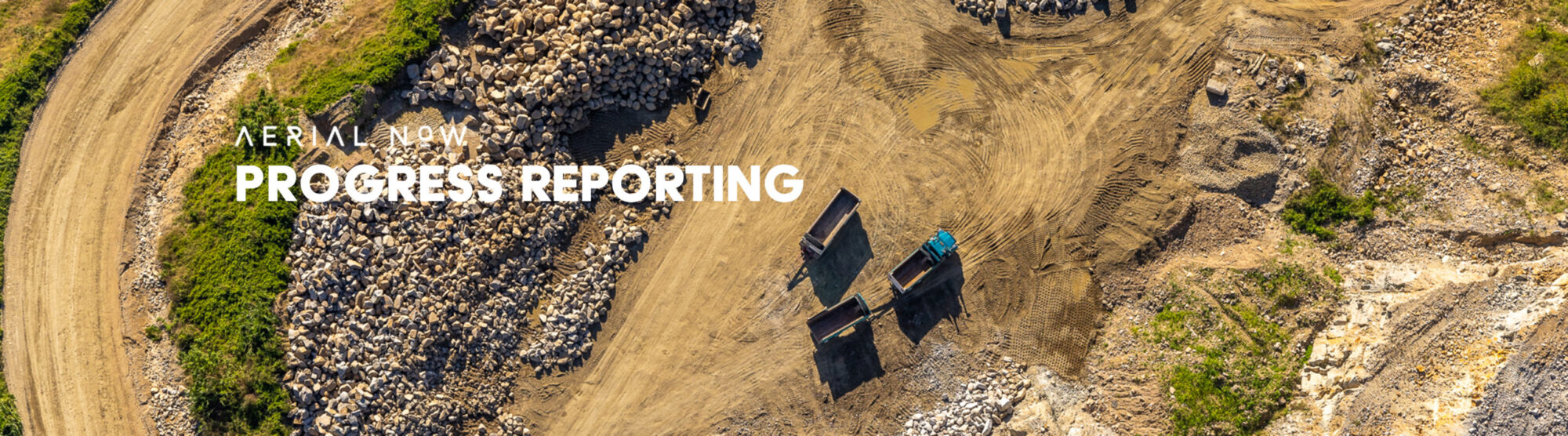
High-stakes infrastructure projects need more than just photos; they need a precise, compliant visual record of every milestone.
Most project managers struggle to maintain an accurate audit trail across massive sites.
At Aerial Now, we provide the technical ground and aerial imaging required for documentation, marketing, and regulatory reporting.
Our ground-level DSLR photography captures site progress with professional composition while adhering to all privacy and safety standards.
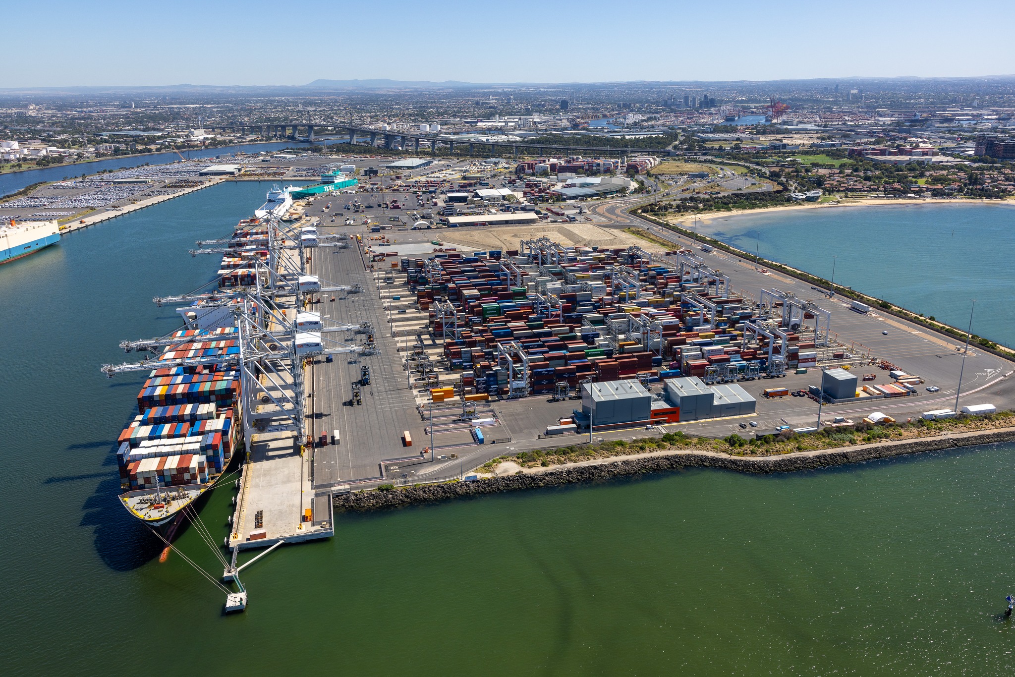
For large-scale perspectives, we deploy CASA-certified pilots in fixed-wing aircraft and helicopters to provide high-resolution 4K video and stills.
We use custom flight paths and site-specific risk assessments to capture angles that traditional drone setups often miss.
With 20 years of experience, we understand how to integrate into government and industrial workflows without disrupting operations.
Our team handles everything from before-and-after comparisons to high-end marketing visuals that meet strict industry standards.
Whether you need monthly reporting or a one-off ad hoc shoot, we deliver the high-resolution data stakeholders rely on.
Let’s discuss the specific requirements for your next project.
Reach out to request a quote or view our technical capabilities.