Traditional Aerial Photography
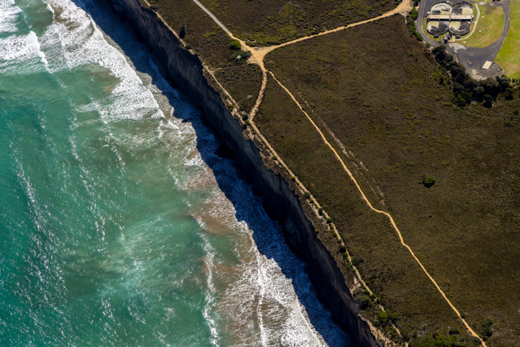
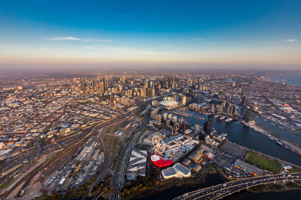
Some projects are simply too large for a drone. Fixed-wing aircraft provide the altitude, range, and image resolution needed to document major infrastructure corridors, large land developments, and sites where low-altitude methods can’t capture the full picture.
When aircraft is the right choice
Drones are effective for detailed urban sites, but their range and altitude limitations make them unsuitable for large-scale work. Fixed-wing aircraft cover vast areas in a single flight — efficiently and without the operational constraints that come with drone regulations in complex airspaces.
We use aircraft for:
- Infrastructure corridors — roads, rail, pipelines, and utilities spanning long distances
- Large land developments — subdivisions, rural rezoning, and greenfield sites
- Site surveys — where understanding full topography and site layout is a technical requirement
- Environmental and council reporting — wide-area documentation for land use monitoring and compliance
High-resolution output at scale
Every shoot produces high-resolution imagery suitable for progress reporting, stakeholder documentation, tender submissions, and corporate use. The same standards we apply to drone work — consistent angles, scheduled visits, direct delivery — apply here.
Working on a project that also needs ground-level or drone coverage? We can coordinate both within a single engagement.