Drones have their place, but high-altitude aerial photography using fixed-wing aircraft and helicopters remains the only way to capture the full scale of major Australian projects.
Operating a national network of aircraft requires specialised expertise that we have built over years of flight and imaging experience.
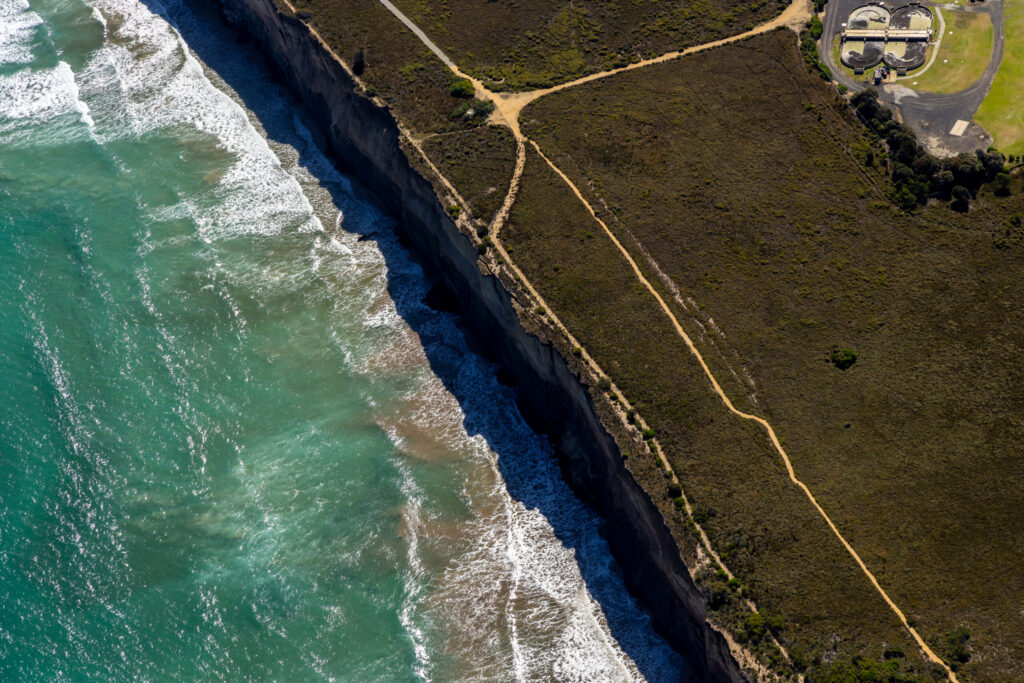
Capturing data from a higher perspective provides a comprehensive view of the background and site layout that ground-level or low-altitude methods miss.
Altitude is the key variable for construction site surveys where understanding the total topography and site flow is a technical requirement.
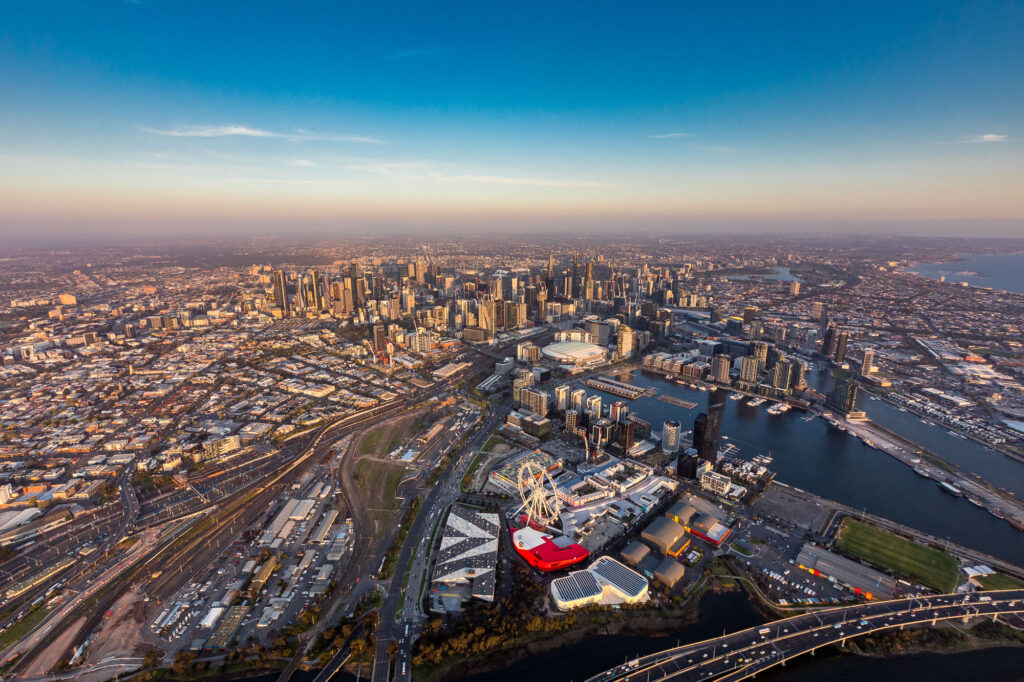
Fixed-wing capture allows us to cover vast areas in a single flight, making it the most efficient choice for large-scale infrastructure and landscape projects.
In real estate and architecture, this broader scope is critical for documenting how a property sits within its entire surrounding environment.
These high-resolution datasets also allow environmental consultants to monitor land use changes, track deforestation, and assess the health of natural resources.
During emergencies or natural disasters like floods and wildfires, our aerial teams provide the rapid, wide-area overview needed for strategic response planning.
In the agriculture sector, we provide farmers with the macro data necessary to track crop yields, growth patterns, and pest infestations across thousands of hectares.
Traditional aerial photography delivers the high-resolution, wide-scope perspective that informed decision-making and large-scale project management require.
Contact our team to discuss how our national aircraft network can support your next site survey or environmental monitoring project.