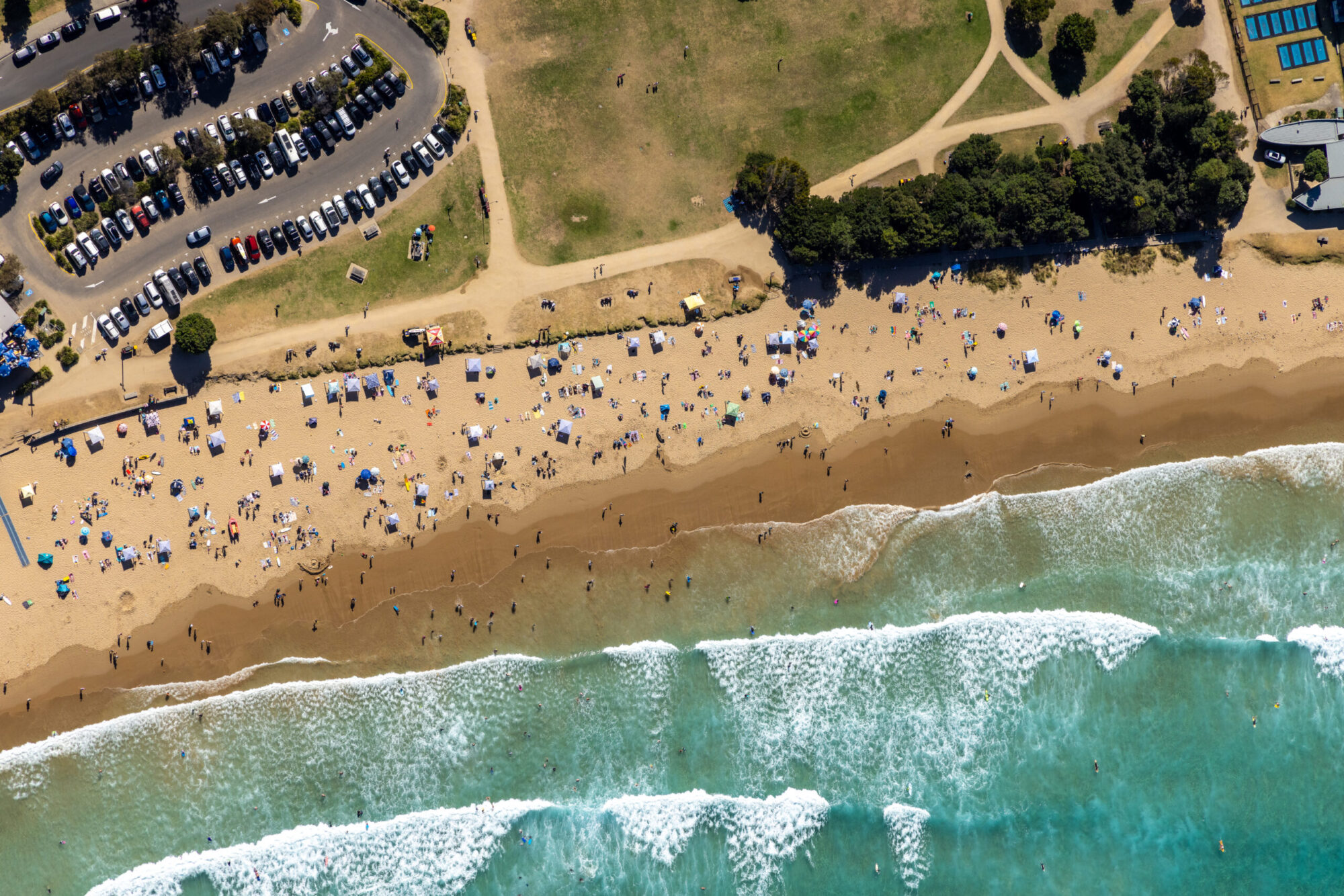
Introduction
Aerial photography is the process of taking photographs from a high altitude using a camera mounted on an aircraft, drone, or any other flying object. It has become an essential tool in various industries, including real estate, construction, agriculture, and surveying. Aerial photography provides a bird’s-eye view of the landscape, which is impossible to capture from the ground. In this blog post, we will explore the various benefits and applications of aerial photography.
Benefits of Aerial Photography
- Provides a unique perspective
Aerial photography provides a unique perspective of the landscape, allowing you to capture images from an elevated position that is impossible to achieve from the ground. It provides a better understanding of the land’s layout and features, making it an invaluable tool for land surveying, mapping, and planning.
- Saves time and money
Aerial photography can save time and money by providing accurate and detailed images of large areas in a short amount of time. This makes it ideal for various industries, including agriculture, forestry, construction, and real estate.
- Offers high-quality images
Aerial photography produces high-quality images with incredible detail and clarity. These images can be used for various applications, including marketing, advertising, and promotional materials. High-quality images can also be used for surveying and mapping, as they provide a clear picture of the terrain.
- Improves safety
Aerial photography can improve safety in various industries, including construction and forestry. It allows professionals to survey areas that are difficult or dangerous to access on foot, minimizing the risk of injury.
Applications of Aerial Photography
- Real estate and property development
Aerial photography is widely used in the real estate and property development industries. It provides an accurate and detailed view of properties and their surroundings, making it easier to market and sell properties. Aerial photography can also be used to monitor construction progress and provide progress reports to investors.
- Agriculture
Aerial photography is an invaluable tool for the agriculture industry. It can be used to monitor crop health, identify irrigation issues, and plan harvests. Aerial photography can also be used to identify areas that require fertilization or pesticide treatments.
- Construction
Aerial photography is widely used in the construction industry. It allows professionals to monitor construction progress, identify potential issues, and provide progress reports to investors. Aerial photography can also be used to survey sites before construction begins, providing accurate and detailed images of the terrain.
- Mapping and surveying
Aerial photography is an essential tool for mapping and surveying. It provides a detailed view of the land’s layout and features, making it easier to create accurate maps and survey reports. Aerial photography can also be used to identify potential hazards, such as sinkholes or flood-prone areas.
- Environmental monitoring
Aerial photography can be used to monitor the environment, including tracking changes in land use, identifying areas of deforestation, and monitoring wildlife populations. Aerial photography can also be used to monitor the effects of natural disasters, such as wildfires or floods.
Types of Aerial Photography
- Fixed-wing aircraft
Fixed-wing aircraft are a common platform used for aerial photography. They are ideal for covering large areas quickly and provide a stable platform for capturing images. Fixed-wing aircraft can also fly at higher altitudes, providing a wider field of view.
- Helicopters
Helicopters are a versatile platform for aerial photography. They can fly at lower altitudes, providing more detailed images. They are also ideal for capturing images of buildings and other structures from various angles.
- Drones
Drones have become an increasingly popular platform for aerial photography. They are lightweight, portable, and can fly at low altitudes, providing detailed images of small areas. Drones can also be equipped with various sensors
